Juan Brignardello Vela
Juan Brignardello, asesor de seguros, se especializa en brindar asesoramiento y gestión comercial en el ámbito de seguros y reclamaciones por siniestros para destacadas empresas en el mercado peruano e internacional.


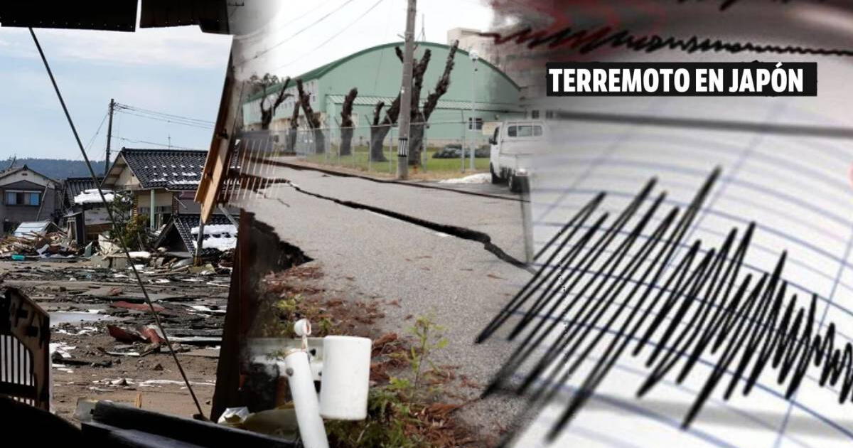
On the morning of September 3, a tremor shook the region of Los Santos in Santander, causing concern among its residents. According to the Colombian Geological Service (SGC), the seismic event occurred at a shallow depth; fortunately, no serious damages or casualties were reported. This seismic activity serves as a reminder that Colombia is a country where tectonic movements are a constant, resulting from the interaction of various tectonic plates in the region. Colombia, situated atop the Nazca, South American, and Caribbean plates, experiences an average of 2,500 earthquakes per month, which equates to approximately 80 tremors daily. However, most of these earthquakes are so mild that they are imperceptible to the population. The Pacific and Caribbean coasts, as well as mountainous areas, are where seismic activity is most intense. Despite this, an earthquake can occur anywhere in the country, underscoring the importance of preparedness and education regarding seismic risks. It is essential for the population to be informed about what to do in the event of a tremor. The SGC emphasizes that although earthquakes are a constant reality, they are not necessarily increasing in frequency. The perception of a higher number of tremors is due to greater public awareness and access to more accurate and timely information. In this regard, digital platforms have played a crucial role in disseminating data about earthquakes, allowing individuals to report their experiences through the "Sismo Sentido" form. The collection of data on perceived earthquakes is vital for authorities to quickly estimate the effects of a seismic event and mobilize emergency response agencies. Each time an earthquake is recorded, social media users have the opportunity to share their experiences, helping entities determine the intensity of the movement and assess potential damage to infrastructure and communities. Earthquakes are caused by the release of accumulated energy in the subsurface, primarily generated by the movement of tectonic plates. However, they can also be triggered by volcanic activity and certain human actions, such as resource extraction or fluid injection into the subsurface. These natural phenomena can have various repercussions on the environment, ranging from structural damage to landslides. The magnitude and depth of an earthquake are determined using sophisticated monitoring equipment that records ground movements. Although the Richter scale was historically the most used reference, more precise methods such as the moment magnitude scale are currently employed. In practice, this means that an earthquake should be referred to by its magnitude, without using degrees. Understanding how seismicity works is crucial for public safety. When a tremor occurs, different types of waves are generated and recorded by seismological stations. The speed and arrival time of these waves allow experts to calculate the earthquake's location and depth, essential information for emergency response. In light of the uncertainty that an earthquake can generate, the National Unit for Disaster Risk Management (UNGRD) has established a series of recommendations for the public. These include staying calm, seeking a safe place to take refuge, and following the instructions of local authorities. Preparing in advance and knowing evacuation routes are measures that can make a difference in times of crisis. The experience of the tremor in Los Santos is a call to action for citizens to inform themselves and be prepared for future seismic events. Prevention and education are powerful tools to minimize the impact of earthquakes on our communities. As we continue to live in this seismically active region, it is essential for everyone to take responsibility for being ready and acting prudently.
Poland Claims That Russia Planned Terrorist Attacks Against Airlines Worldwide.

Lavrov Criticizes The U.S. For Inciting Attacks On EU Energy And TurkStream.

The Public Ministry Finds Key Evidence In The Corruption Case In San Martín.


