Juan Brignardello Vela
Juan Brignardello, asesor de seguros, se especializa en brindar asesoramiento y gestión comercial en el ámbito de seguros y reclamaciones por siniestros para destacadas empresas en el mercado peruano e internacional.


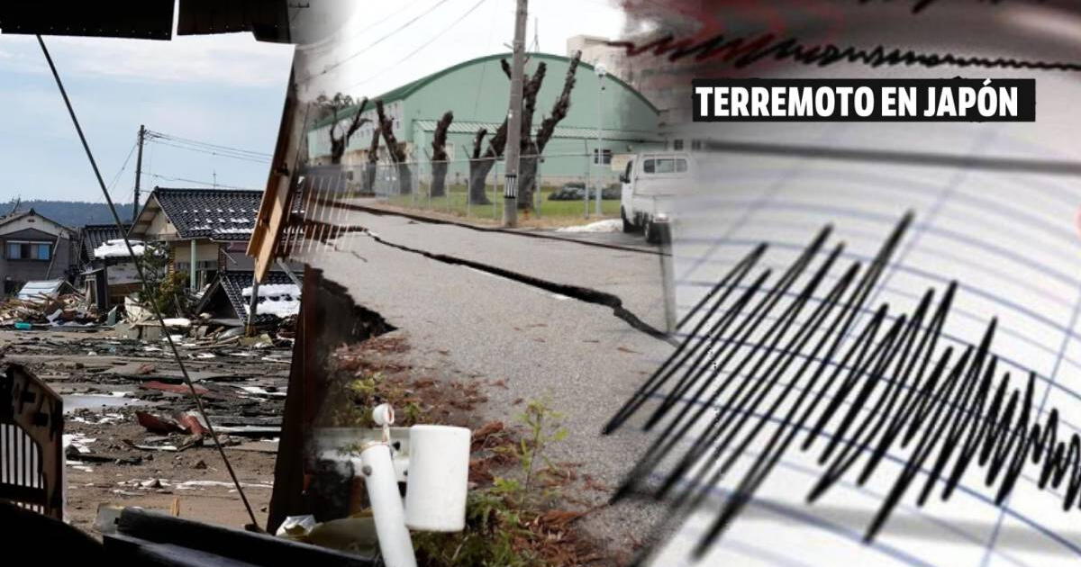
The Baja California peninsula, one of the most fascinating and diverse regions of Mexico, faces an imminent challenge: the possibility of a mega earthquake. A recent study from the National Autonomous University of Mexico (UNAM) has revealed that seismic events with a magnitude greater than 7 on the Richter scale occur approximately every 15 years in this region. This geological reality alerts residents, researchers, and authorities about the potential impact of these natural phenomena. The geology of Baja California bears witness to intense tectonic activity. The peninsula is located at a convergence point of several tectonic plates that move at a rate of between four and five centimeters per year. Thierry Calmus, an expert in tectonics at the Northwest Regional Station, has pointed out that this movement, while almost imperceptible day-to-day, has significant consequences over millions of years. Long-term projections suggest that over the course of a million years, Baja California could shift about 40 kilometers northwest, transforming the region's geography. Constant monitoring of these movements is made possible by sophisticated global positioning systems (GPS), which have replaced older laser measurement techniques. These advancements have allowed scientists to accurately measure the distance between the peninsula and the rest of the continent, alerting them to the ongoing separation of Baja California. This geological evolution has been observable since the arrival of the Spanish, who witnessed the peninsula shift 24 meters northward in recent centuries. The Gulf of California fault is another crucial geological feature contributing to the seismic activity in the region. Although many of the earthquakes that occur are of low magnitude and barely perceptible, they represent a continuous phenomenon that is part of the tectonic displacement. Calmus explains that tectonic plates behave elastically, accumulating stress at faults until it is released in the form of earthquakes, which explains the regularity of seismic events in the area. While scientists can provide general estimates about future seismic activity, predicting exactly when and where an earthquake will occur remains a complex puzzle. In the Gulf of California, the occurrence of large magnitude earthquakes has maintained a pattern of approximately every 15 years, suggesting that the region could be due for a significant event at any moment. However, the inherent uncertainty of natural processes makes these projections difficult to pin down. On the other hand, the San Andreas fault, which extends along California, also raises serious concerns. This historical fault has been responsible for some of the most devastating earthquakes in history, including the catastrophic 1906 earthquake in San Francisco. Experts are particularly alert about the southern section of this fault, which has not experienced a major earthquake in nearly 300 years. With an average of one major earthquake every 150 years, the buildup of stress in this area could result in a devastating event at any time. Jennifer Andrews, a seismologist at the California Institute of Technology, has indicated that the southern end of the San Andreas fault is the area most prone to a major earthquake in the next 30 years. An event of magnitude 7.8 in this section could have catastrophic repercussions, not only for California but also for the rest of the West Coast of the United States. Projections suggest that such an event could result in thousands of deaths and economic losses exceeding $200 billion. In this context, disaster preparedness becomes a critical issue. Experts emphasize the need to implement early warning systems that can provide valuable seconds for the population to react to an impending earthquake. With an effective system, trains could be stopped, hospitals alerted, and people could take cover under desks or evacuate buildings, potentially saving thousands of lives. However, despite the importance of these measures, many citizens and businesses are not sufficiently prepared to face a major earthquake. The lack of recent events has led to an underestimation of the risk, highlighting the need for awareness campaigns and training that educate the population on how to act in the event of an earthquake. The geological history of Baja California serves as a constant reminder that, although the movement of tectonic plates may seem like a distant phenomenon, its consequences are very real and can profoundly impact the lives of millions. In conclusion, Baja California faces not only the beauty of its geography but also the dangers arising from its geological dynamics. The constant interaction between tectonic plates and the seismic activity of the region requires urgent attention and the implementation of appropriate safety measures. History and science agree that preparedness is key in the face of the inevitable arrival of a mega earthquake.
Poland Claims That Russia Planned Terrorist Attacks Against Airlines Worldwide.

Lavrov Criticizes The U.S. For Inciting Attacks On EU Energy And TurkStream.

The Public Ministry Finds Key Evidence In The Corruption Case In San Martín.


